Friendly web-based tools and mobile interfaces will be developed, helping to promote improved communication during crisis management.
Expected outputs:
"This tool was implemented to provide a general rapid review of monitoring data captured during the initial phases of a pollution incident in order to inform subsequent actions (alerts, sampling and analysis, pollution controls/management, risk communications)."
"HazRunoff generated and distributed different online dashboards able to present measured and modelled information about hydro-meteorological conditions, pollution indicators, and modelled data that can help civil protection responders and pollution authorities in the real-time monitoring of the situation. These online dashboards are accessible by clicking on the HazRunoff platform link."
"Real-time incident monitoring has been used to help track disease outbreaks and obtain intelligence from communities affected by flooding but has not been applied to environmental pollution events. Public Health England (PHE) has aimed to pilot the potential for use of media and social media platforms for alerting of environmental pollution incidents within specific aquatic and marine environments (rivers, estuaries, coastal waters)."
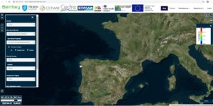
"Web-based multi-platform and mobile-friendly tool for the on-demand simulation of fate and behaviour of objects and substances in transitional waters. HazRunoff platform integrates: Operational model hindcast and forecast results for different spatial domains (Oceancoastal circulation, meteorology, hydrology); Field data visualization; Remote sensing images; On-demand marine pollution incident simulations (oil, HNS spills)."